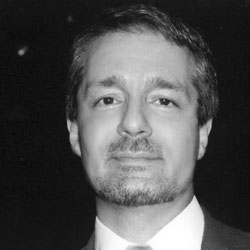
These programs are presented by Dr. Mehrdad (Michael) Izady, historian of the Middle East, cartographer, and university professor.
Dr. Izady holds a Ph.D. in Middle Eastern Studies from Columbia University (1991) and has served as a Teaching Assistant Professor of Humanities at New York Tech since 1997. He has also been affiliated with Harvard University, the Smithsonian Institution, Fordham and Pace Universities, and the USAF Special Operations School / Joint Special Operations University.
Beyond the classroom, he has testified before two U.S. Congressional committees, served as an advisor to the National Security Council, and consulted for the United Nations and U.S. mapping authorities. He is a recipient of five National Endowment for the Humanities collaborative grants and is fluent in four European and four Middle Eastern languages.
He is the author of eight books and more than 200 annotated original cartographic works, including the widely cited Gulf2000 project, that read not merely borders, but the ethnic, religious, linguistic, and strategic composition of the regions they depict. It is this approach that defines both the Atlas Collection and the programs built around it.
Wikipedia · Wikidata · New York Tech faculty page · Columbia University Gulf/2000 Project · VIAF · Library of Congress